
Getting to Le Pouce
Le Pouce stands in the middle of the island, which makes it easy to reach from almost anywhere by car and manageable by bus from Port Louis and the plateau towns. The standard trailhead is a small car park at Petit Verger above Saint-Pierre, off the B47 in Moka. The second trailhead is at the end of Chateau d’Eau Street in Tranquebar, Port Louis. All drive times below are estimates, and Mauritian traffic at peak hours can double them.
Read the guide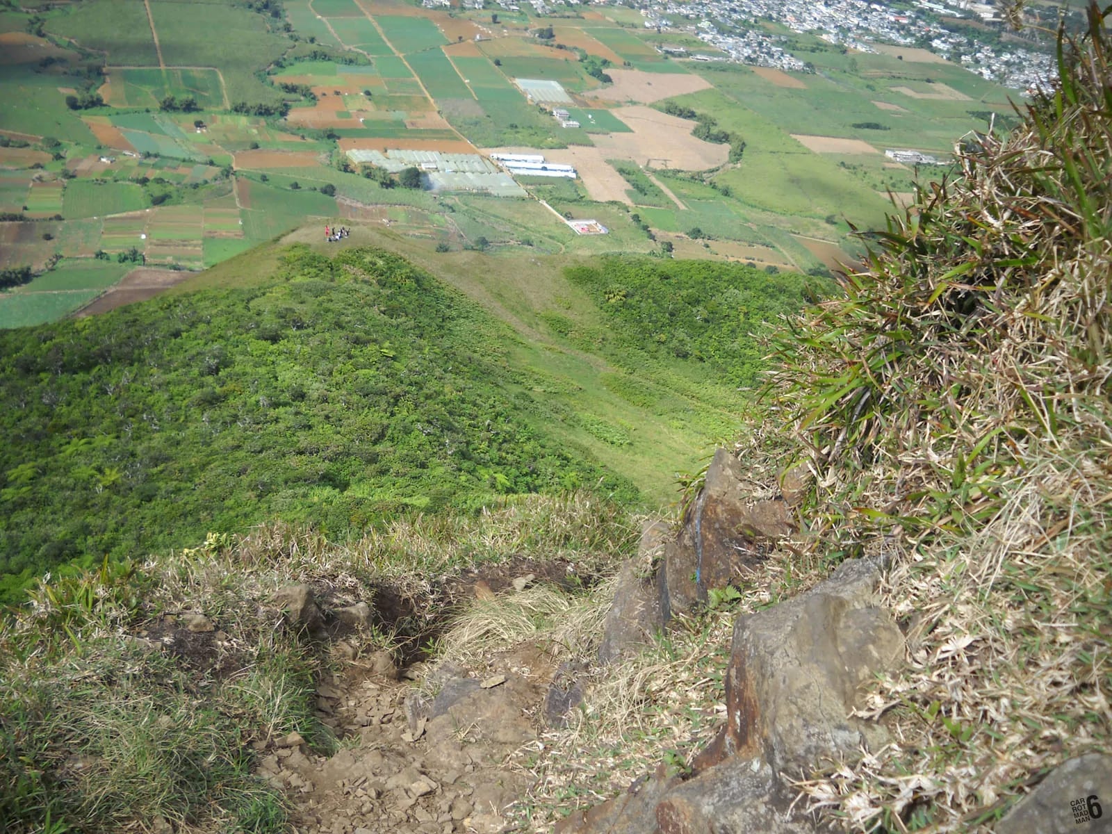
Two trailheads, two different journeys
Decide which side you are climbing before you plan the journey, because the two starts are on opposite sides of the mountain and roughly half an hour apart by road. Petit Verger, at about 381 m above the village of Saint-Pierre in Moka district, is the standard start and the one most people mean when they say the Le Pouce trailhead. Tranquebar, at about 88 m on the southern edge of Port Louis, is the start of the long northern route past Le Dauguet. The through-hike from one to the other is about 6 km and is practical only because both ends have buses.
The Petit Verger car park is at the end of a farm road through sugar cane, with a brown Le Pouce sign at the turn and space for four or five cars, with more on the verge. No bus runs to the door. The Tranquebar start is inside the city and reachable by bus from the centre.
By car from the main bases
Driving is the simplest way to arrive, and the trailhead is close to the motorway. The times below are rough estimates for a quiet morning, not measured journeys, and they assume you leave before the plateau traffic builds from about 07:30.
Check a live map before you leave. Traffic into Port Louis between 07:00 and 09:00 and out of it between 16:00 and 18:00 can add half an hour to any of these, which is another argument for the dawn start that the mountain rewards anyway.
| From | Rough time | Route notes |
|---|---|---|
| Port Louis | 20 to 25 minutes | M1 south to the Moka exit, then the B47 towards Saint-Pierre |
| Grand Baie | About 45 minutes | M2 south across the northern plain to Port Louis, through the city on the motorway, then the M1 to Moka |
| Flic en Flac | About 40 minutes | East across the plateau to the M1, then north to the Moka exit |
| Airport, Plaine Magnien | About 45 minutes | M1 north across the plateau to the Moka exit |
The Moka exit and the B47
From the M1 motorway the sequence is short, and the one place people go wrong is the turn off the B47.
Park considerately. The road is used by farm vehicles, and blocking it has consequences for people who live and work here. Arrive early at weekends, when the few spaces fill before 08:00.
Leave the motorway at Moka
Take the Moka exit, signed for Mount Ory and Moka, and head towards the village. You pass close to Eureka, the Creole house that is itself worth a stop later.
Join the B47 towards Saint-Pierre
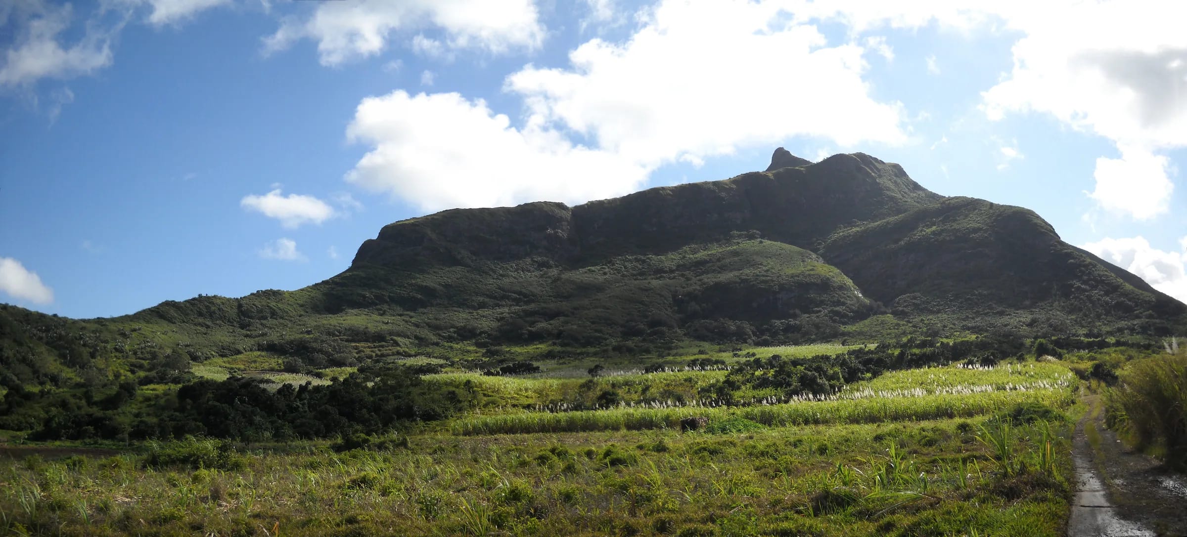
In Moka pick up the B47, also called Bois Chéri Road, heading towards Saint-Pierre. The mountain is on your left, the thumb clearly visible.
The sharp bend after the mosque
Beyond the mosque, at a sharp right-hand bend, a tiny farm road leaves the B47 with a brown Le Pouce sign. It is easy to miss at speed. If you reach the centre of Saint-Pierre you have gone too far.
Through the cane to the car park
Follow the farm road up through the sugar cane to its end. The small car park is where the walking starts, with the first waymarks and a wooden board listing the routes.
By bus to Saint-Pierre and Moka
Public transport gets you to Saint-Pierre or Moka easily, and from there the trailhead is a walk of roughly 2 km uphill through cane or a short taxi ride. The National Transport Corporation runs route 153 from Curepipe to Saint-Pierre via Floréal, Vacoas, Quatre Bornes, Ebène, Réduit, the Mahatma Gandhi Institute and Gentilly, and route 167 from Bord Cascades and Henrietta to Saint-Pierre via Ebène, Réduit, the MGI, Moka and Gentilly. Both are useful if you are staying on the plateau or arriving by metro at Réduit.
From Port Louis, buses to Saint-Pierre and Quartier Militaire leave Victoria Square and run through Mount Ory, Moka and along Bois Chéri Road to the Saint-Pierre traffic centre, which puts you at the foot of the B47 approach. Individual-operator routes numbered 12 and 12A have served this line, though the timetables published online are undated and you should confirm at the station. Victoria Square serves the south and centre of the island and Immigration Square the north, so a traveller from Grand Baie changes stations in Port Louis.
- Useful stops are Saint-Pierre Traffic Centre, Moka (Telfair) and, for the northern route, Tranquebar (Cité Madelaine).
- Buses run from about 05:30 to 20:00 in the towns and about 06:30 to 18:30 in the country, so the last bus from Saint-Pierre is early. Check before you climb.
- Fares were Rs 17 to 47 on the tariff of May 2022. Expect a little more now and carry small notes.
- Buses are the reason the through-hike works. Start in Tranquebar, descend to Petit Verger and Saint-Pierre, and ride back to Port Louis.
Metro Express to Réduit, then the last leg
The Metro Express light rail has a branch from Rose Hill through Ebène to Réduit, which is the closest station to the mountain. Check whether your service runs through to Réduit or needs a change at Rose Hill. Réduit is still roughly 4 to 5 km from the Petit Verger car park in a straight line and further by road, so the last leg is a taxi from the station or a bus. The NTC 153 and 167 both pass Réduit on their way to Saint-Pierre, which makes the metro and bus combination workable for anyone staying along the line.
Fares on the metro were Rs 35 to 55 depending on distance when last published. Allow an extra half hour for the connection, and if you are aiming for a sunrise climb the metro will not be running early enough. For dawn starts, a taxi booked the evening before is the realistic choice.
Taxis
Taxis are the easy answer for anyone without a car, and the only answer for a dawn start without one. Fares are not metered in practice and vary with distance, time of day and negotiation, so this guide does not quote them. Agree the fare before you get in, confirm whether it covers waiting or a return pickup, and take the driver’s number. A taxi from Port Louis to Petit Verger is a short journey of roughly 20 to 25 minutes. From Grand Baie, Flic en Flac or the airport it is 40 to 45 minutes and correspondingly more expensive.
The useful arrangement is a drop-off and a booked return. Tell the driver you expect to be about three hours and that you will call from the shoulder, where there is usually signal, when you start the descent. For the through-hike from Tranquebar to Petit Verger, a taxi from Saint-Pierre back to Port Louis saves the bus connection at the end of a long morning.
Parking limits at Petit Verger and Tranquebar
The Petit Verger car park holds four or five cars, with room for a few more on the verge of the farm road. On weekend mornings it is full early, and local advice is to arrive before 08:00. Do not block the track, which farm vehicles use, and leave nothing visible in the car. On weekdays it is usually quiet.
On the Port Louis side, Le Dauguet has a sports area with parking and toilets about a kilometre up from the end of Chateau d’Eau Street, with the city streets of Tranquebar below it. Given the knifepoint robbery at Le Dauguet in 2025, this is a place to park in a group and in daylight, or to arrive by taxi rather than leaving a car for six hours.
Questions people ask
Where exactly does the Le Pouce hike start?
The standard start is a small car park at Petit Verger, about 381 m up, at the end of a farm road through sugar cane above Saint-Pierre in Moka district. The turn leaves the B47 at a sharp bend beyond the mosque, marked by a brown Le Pouce sign. The position is roughly 20.2077 south, 57.5270 east. The northern start is at the end of Chateau d’Eau Street in Tranquebar, Port Louis.
Can I get to Le Pouce by public transport?
Yes, with a short last leg. NTC routes 153 and 167 run to Saint-Pierre from Curepipe and from Henrietta via Réduit and Moka, and buses from Victoria Square in Port Louis run through Moka to the Saint-Pierre traffic centre. From Saint-Pierre the trailhead is a walk of roughly 2 km uphill through cane or a short taxi ride. The Tranquebar start on the Port Louis side is reachable by city bus.
Is there parking at Le Pouce?
A small car park at Petit Verger holds four or five cars, with a little more room on the verge of the farm road. It fills early on weekend mornings, so arrive before 08:00 or come on a weekday. Do not block the track, which farm vehicles use. On the Port Louis side, Le Dauguet has a sports area with parking, but leave nothing visible and prefer a group in daylight.
How far is Le Pouce from Port Louis?
The mountain rises directly behind the capital, and the Petit Verger trailhead on the far side is roughly 20 to 25 minutes by car via the M1 and the Moka exit, outside peak traffic. The Tranquebar trailhead is inside the city itself. Walking from Port Louis over the summit to Saint-Pierre is about 6 km with roughly 690 m of ascent.
Does the Metro Express go to Le Pouce?
Not to the trailhead. The nearest station is Réduit, on the branch from Rose Hill through Ebène, and it is still roughly 4 to 5 km from the Petit Verger car park in a straight line. From Réduit take a taxi or one of the NTC buses, 153 or 167, that pass the station on their way to Saint-Pierre. The metro does not run early enough for a sunrise climb.
How do I get back after hiking across from Port Louis to Moka?
Walk down from Petit Verger to Saint-Pierre, about 2 km, and take a bus from the traffic centre back to Victoria Square in Port Louis, or a taxi. Country buses stop running in the early evening, around 18:30, so finish the descent with time in hand. If you left a car in Tranquebar, the bus or taxi takes you back to it.
Find the first waymarks
The trailhead page shows the car park, the wooden board and the first few hundred metres.