
Le Pouce weather and the best time to climb
Le Pouce stands high enough to make its own weather. The summit wears a cap of cloud on many mornings, the wind is stronger on the thumb than in the fields below, and the clay path turns to mud after rain. The cooler, drier months from May to November give the best odds of a clear view, and the cyclone season from November to April brings the days when nobody should be on the mountain at all. This page explains what to expect and shows the current conditions on the summit.
Read the guide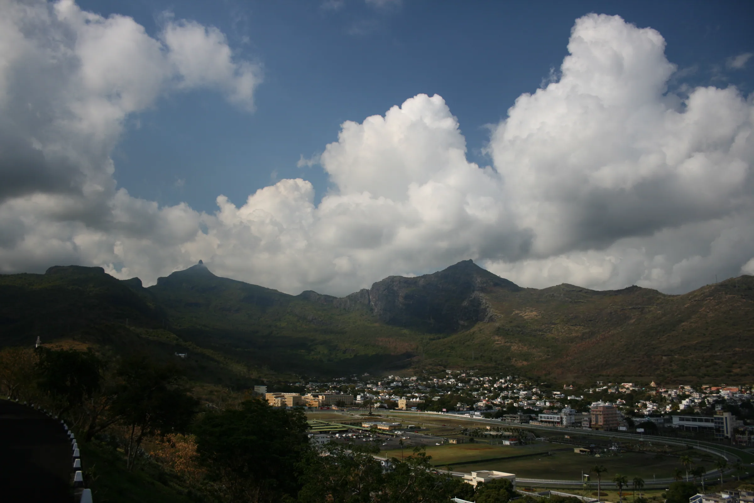
Conditions on the summit now
The panel in this section shows the current forecast for the summit area of Le Pouce. Use it the evening before and again on the morning of your climb. The things to look for are cloud at summit height, which decides whether you will have a view, wind, which decides whether the thumb is pleasant or unnerving, and rain in the previous twelve hours, which decides how slippery the rock step and the forest switchbacks will be.
No forecast is perfect for a single peak, and the panel cannot see the small cap of cloud that forms on the thumb while the valley stays sunny. Treat it as a strong hint. The final decision is made on the shoulder, looking up.
Today on Le Pouce
Reading the forecast for the summit…
The cloud cap and the cloud forest
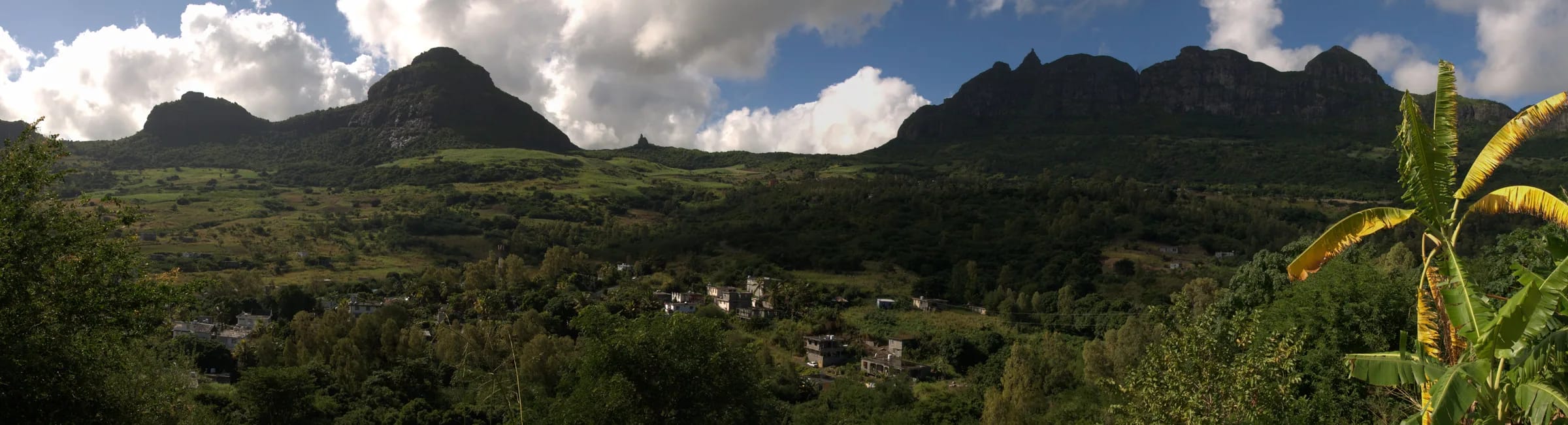
The highest peaks of the Moka Range receive extra moisture directly from cloud, and that is why the only significant patch of native cloud forest in the range survives on Le Pouce. The same cloud is the hiker’s problem. Moist air pushed up the slopes condenses around the summit, and the thumb can sit in its own small cloud while Saint-Pierre and Port Louis are in sunshine. Walkers on the Port Louis route have arrived at a summit with no view at all, and others describe caps that lift for a few minutes and close again.
The cap is most likely from late morning onwards, as the sun heats the lowlands and the air rises, and least likely around dawn and in the first hours of the day. That is the single best reason to start early. If you reach the shoulder and the summit is in cloud, wait a little. If it does not clear, the shoulder has Port Louis, Pieter Both and the plateau in view, and the summit will keep for another day.
Wind on the top
The summit is described as breezy on most days, and hikers report strong wind near the top. Below the shoulder you will hardly notice it, because the forest shelters the path. On the thumb there is nothing to shelter you. The trench and the rock step face the wind, and the small summit platform has edges you should not approach standing up in a gust. A local press report on a school ascent put the rule plainly, with care needed in wind or after heavy rain and everyone staying seated on top.
Wind also makes the summit cold. The island’s mean winter temperature is 20.4 °C and the night minimum in July and August averages 16.4 °C at low level, so a summit roughly 5 °C cooler with a stiff breeze is jacket weather at dawn. Carry a windproof layer in every month, and if you can hear the wind on the ridge from the shoulder, that is your answer about the thumb.
Rain, wet rock and mud
Le Pouce is in the wetter centre of the island. The Moka Mountains receive mostly 1,000 to 2,000 mm of rain a year, less than the south-west forests but far more than the dry west coast, and the island as a whole gets about two thirds of its rain in the summer months. On the mountain rain does two things. It polishes the basalt of the trench and the rock step, which are slippery enough when dry, and it turns the red clay of the forest switchbacks into mud that holds water for hours after the sky clears.
Hikers describe sudden rain and strong wind near the top followed by a very muddy descent, and the local press has reported morning fog making the final section slippery. Wet weather is the main reason the mountain is harder on a given day than its reputation suggests. After overnight rain, reassess the whole outing. Postpone after heavy rain, under an official warning or when ground conditions are unstable. Do not attempt the exposed finish on wet rock. The 2026 stretcher evacuation of a hiker who sprained an ankle on the Saint-Pierre descent is a reminder that the easy-looking forest path is where falls happen.
The climate in numbers
The Mauritius Meteorological Services describe two seasons. Summer runs from November to April with a mean temperature of 24.7 °C, and winter from June to September with a mean of 20.4 °C, measured at the island’s standard low-level stations. The warmest daytime highs come in January and February at about 29.2 °C, and the coolest nights in July and August at about 16.4 °C. Mean annual rainfall over the island was 2,010 mm for 1971 to 2000, with 67 percent falling in summer. February and March are the wettest months and October the driest. The central plateau averages about six hours of sunshine a day in summer and five in winter.
None of these figures were measured on Le Pouce. The summit has no weather station, so the figure most people want, the temperature on top, is an estimate. Using a standard lapse rate of 6.5 °C per kilometre from sea level, the summit at 812 m should be roughly 5 °C cooler than Port Louis at the same moment. Treat that as a rule of thumb rather than a measurement, and add the wind.
| Measure | Figure | Note |
|---|---|---|
| Summer mean temperature, November to April | 24.7 °C | Summit roughly 5 °C cooler, estimated |
| Winter mean temperature, June to September | 20.4 °C | Summit roughly 5 °C cooler, estimated |
| Warmest daytime maximum | About 29.2 °C | January and February |
| Coolest night minimum | About 16.4 °C | July and August |
| Mean annual rainfall, whole island | 2,010 mm | 1971 to 2000, with 67 percent in summer |
| Wettest months | February and March | Inside the cyclone season |
| Driest month | October | Lowest rainfall of the year |
| Sunshine, central plateau | About 6 hours a day in summer, 5 in winter | The Moka side sits on the plateau edge |
The cooler May to November window
Local guides agree that the austral winter from May to November is the best time for Le Pouce, for cooler air and better visibility, and that mornings beat afternoons in every month. Within that window there are trade-offs. June and July are the coolest months and have the latest sunrises, around 06:45, which makes a dawn climb civilised. October is the driest month of the year and sunrise moves back towards 05:40, so an early start is more of a wrench but the odds of dry rock are at their best. May and November are shoulder months, warm but still outside the main rains.
The summer months from December to April are not forbidden. The mountain is climbed all year, and a clear summer dawn is as good as any winter one. But the heat on the open cane track by nine in the morning is real, cloud and showers build over the plateau as the day warms, February and March are the wettest months, and the cyclone season sits over the whole period. If you are here in summer, climb at first light and keep the rest of the day for the coast.
Cyclone season and the warning classes
The south-west Indian Ocean cyclone season runs from November to April, and the Mauritius Meteorological Services keep their warning window open until mid-May. Most seasons pass with a few days of heavy rain and strong wind rather than a direct hit, but Cyclone Belal in January 2024 brought flooding and a death to the island, and every season has days when the mountains are no place to be.
Mauritius uses a four-class warning system keyed to gusts of 120 km/h. Do not go near Le Pouce under any class, and after a cyclone wait several days before climbing. Paths will be blocked by fallen trees, the clay will be saturated and the rock step will be streaming.
- Class I is issued 36 to 48 hours before gusts of 120 km/h are expected to affect the island.
- Class II is issued so that, as far as practicable, about twelve hours of daylight remain before those gusts.
- Class III is issued so that about six hours of daylight remain before the gusts.
- Class IV means gusts of 120 km/h are already being recorded in places and are expected to continue.
- A safety bulletin lifts Class III or IV once the risk of cyclonic gusts has passed, and a termination bulletin ends the alert when outdoor risks have considerably decreased.
Questions people ask
What is the best month to climb Le Pouce?
Any month from May to November, which is the cooler, drier austral winter with the best visibility. June and July are the coolest, with late sunrises around 06:45 that suit a dawn climb. October is the driest month of the year. Whatever the month, go in the morning, because the cloud cap on the summit is most likely from late morning onwards.
Is it cold on top of Le Pouce?
Cooler than you expect, especially at dawn. Nobody has published measured temperatures from the summit, but a standard lapse rate puts it roughly 5 °C below Port Louis, and the top is breezy on most days. In July and August, when low-level nights average about 16 °C, that means a windy summit before sunrise feels cold. Carry a windproof layer in every month.
Can you hike Le Pouce in the rainy season?
Yes, with judgement. The mountain is climbed all year, but about two thirds of the island’s rain falls between November and April, February and March are the wettest months, and the cyclone season covers the same period. Climb at first light, avoid the days after heavy rain when the clay and the rock step are slick, and never go out under a cyclone warning of any class.
What if the summit is in cloud?
Wait on the shoulder at about 625 m for a while, because caps often lift for a few minutes as the sun warms the air. If it does not clear, the shoulder itself has Port Louis, Pieter Both and the plateau in view, and the summit scramble is not worth doing blind on wet rock. Come back another morning, ideally earlier, when the cap is least likely.
Can you hike during a cyclone warning?
Do not hike under a cyclone warning. Follow official advice afterwards and check local trail conditions. Fallen trees, unstable ground and wet rock can remain after an alert ends; a fixed number of waiting days does not establish that the path is safe.
Does it rain a lot on Le Pouce?
More than on the coast. The Moka Mountains receive mostly 1,000 to 2,000 mm a year, less than the south-west forests but well above the dry west, and the summit gathers extra moisture directly from cloud, which is why cloud forest survives there. Hikers report sudden showers near the top and muddy descents. Mornings in the May to November window are the most reliably dry.
Pick your morning and go
The hike page takes you from the Petit Verger car park to the summit stage by stage, with the map and the honest word on the finish.