
Where to stay for the Le Pouce hike
Le Pouce is a half-day mountain, so almost any base on the island works if you can be at the trailhead early. Where you sleep changes the start, not the hike. Moka is closest and quietest. Port Louis is the only place from which you can walk to a trailhead. The north and west coasts give you a beach for the afternoon at the price of a drive in the dark in the morning.
Read the guide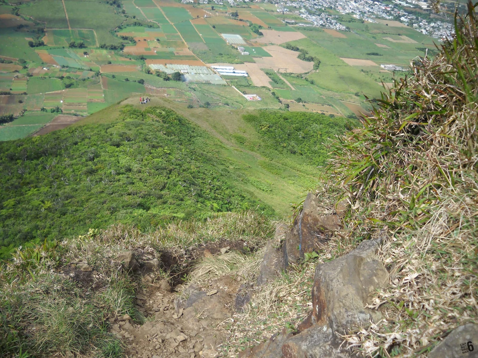
The start time decides the base
The hike itself is short. From the Petit Verger car park at 381 m, the summit is about 2 km and 390 m of climbing away, and most people are up and down in two to three hours. What makes the mountain better or worse is the hour you start. Early means cool air, a clearer summit and a free parking space. Late means heat on the open track, cloud on the ridge and a queue for the small summit.
So the question is not how far your hotel is from Le Pouce but how early you are willing to leave it. From Moka, a first-light start means a ten-minute drive. From Grand Baie or Flic en Flac it means leaving in the dark, roughly 40 to 45 minutes before you want to be walking. From Port Louis you can skip the car altogether and climb the longer northern route from Tranquebar, which is a different and harder outing.
Most visitors do not move house for this mountain, and they are right not to. The notes below are for deciding whether to shift one night to the centre of the island, and for knowing what each base costs you in time and sleep.
Moka and Saint-Pierre, closest and quietest
The Moka district wraps around the southern foot of the mountain, and the lane to the trailhead leaves the Bois Chéri Road between Moka and Saint-Pierre. From anywhere in this area the car park is about ten minutes away, which makes a sunrise or first-light start easy and lets you go back to bed afterwards if the cloud wins.
The honest trade-off is that Moka is not a visitor district. It has the State House at Le Réduit, the university, offices and the Bagatelle mall, but few hotels. Accommodation tends to be small, in guesthouses and rented rooms or apartments, and you should book ahead rather than expect to find something on arrival. Evenings are quiet. There is no beach, and the sea is a drive in any direction.
In return you get the climate of the central plateau. The Moka mountains receive mostly 1,000 to 2,000 mm of rain a year, and nights are noticeably cooler than on the coast, which is pleasant for sleeping and for the first hour of the walk. The same cloud that cools the air can sit on the summit, so a Moka base is also the one from which you can wait for a clear morning and go when it comes.
Port Louis, the only base you can walk from
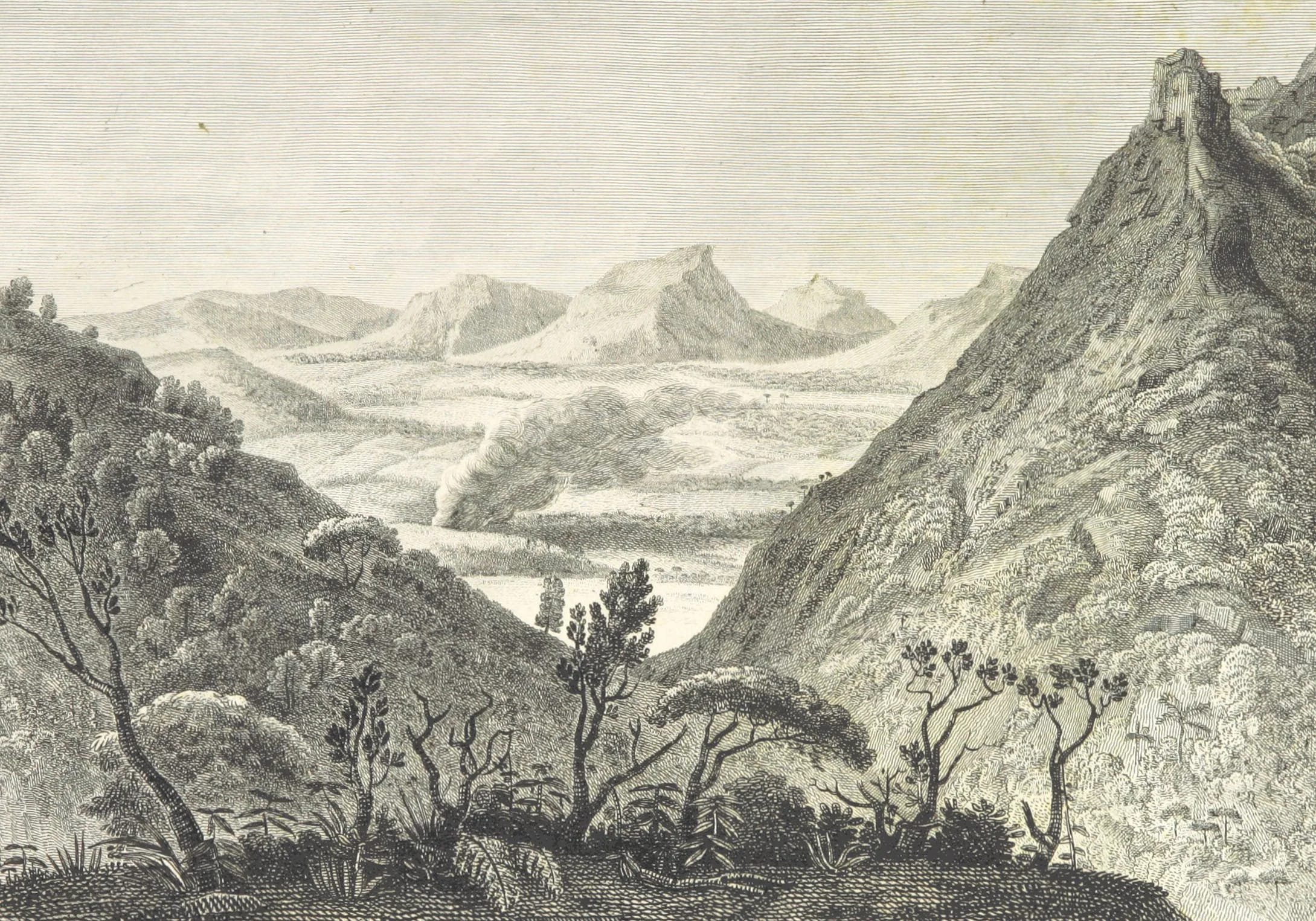
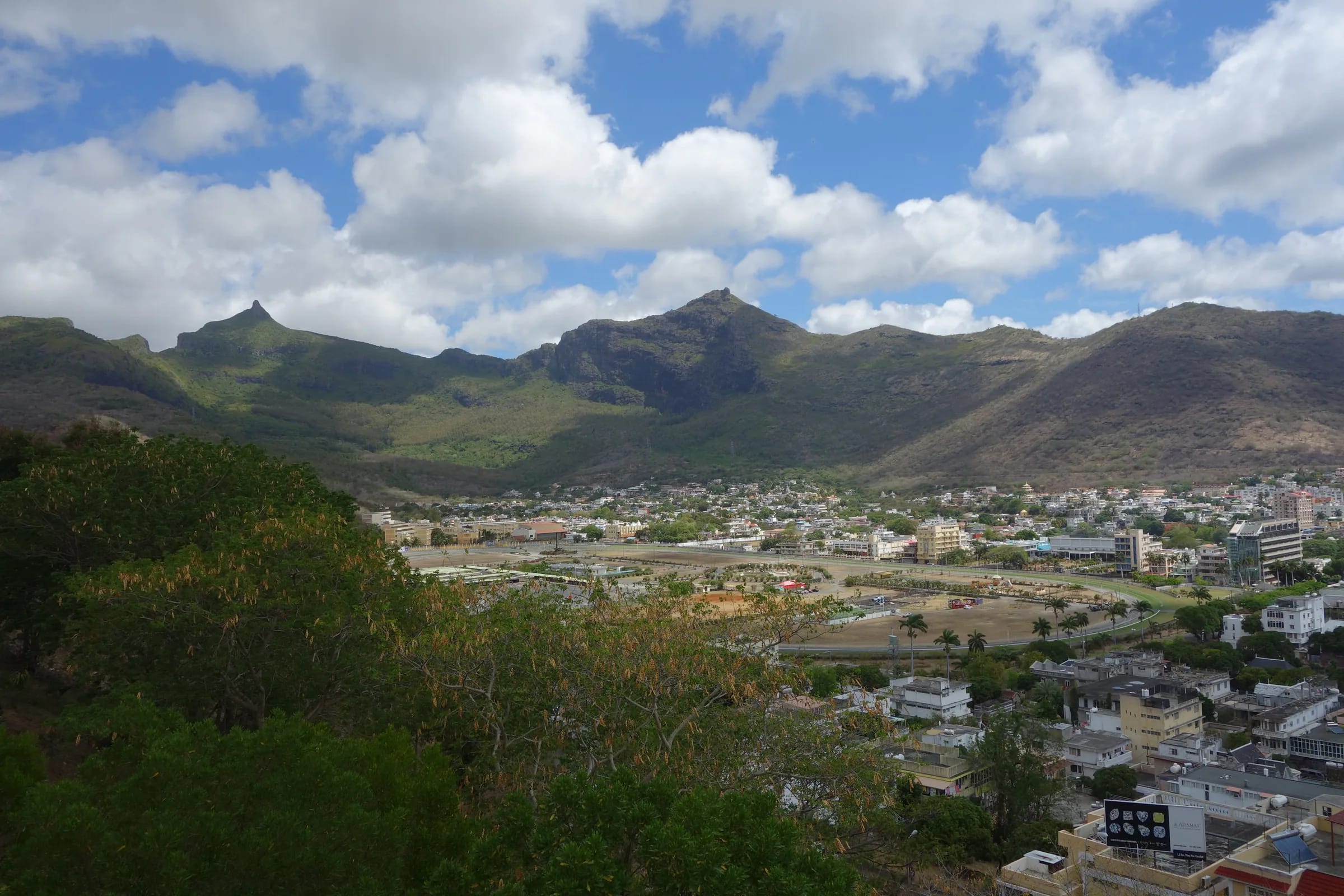
Port Louis is the one place where the mountain starts in the suburbs. The northern trailhead is where Chateau D’Eau Street ends in Tranquebar, and a published loop from the Champ de Mars racecourse reaches the Le Dauguet sports ground, with its parking and oratory, after about a kilometre. From a hotel in the centre you can walk there or take a short taxi, and the Petit Verger start on the other side is roughly 20 to 25 minutes by car.
The route from Tranquebar is not the standard route. One description gives 6.3 km one way with about 820 m of climbing, while our own mapping of the direct line from the Tranquebar end gives about 3.6 km and 690 m to the summit. Either way it is roughly twice the effort of the Moka side, with more shade and better views in exchange, and it is the half of a through-hike that lets you finish in the capital on foot.
Three cautions. Port Louis is hot, sitting in the rain shadow of the trade winds with daytime highs around 27 to 31 °C depending on the season. It is a working capital rather than a resort, and its streets empty quickly after the offices close. And the Le Dauguet approach has seen robberies of hikers, including a group with their guide in October 2025, so go early, in company, with phones and cash out of sight. The safety page covers this plainly.
The north coast around Grand Baie
Grand Baie and the villages along the north coast hold a large share of the island’s visitor accommodation, and for many people the question is simply whether Le Pouce is doable from there. It is. The drive to the Petit Verger car park is roughly 45 minutes, and Grand Baie to the centre of Port Louis is about half an hour by taxi. Check the time in a map app on the evening before, at the hour you intend to leave, because weekday traffic towards the capital builds early.
The practical pattern is a taxi booked for before dawn or a hire car, the climb, a late breakfast in Moka and the beach by early afternoon. By bus it is possible but slow. You ride into Immigration Square in Port Louis, cross to Victoria Square, then take a bus towards Moka and Saint-Pierre. Allow a morning for it and read the bus page before you try.
The west coast around Flic en Flac
Flic en Flac is roughly 40 minutes from the trailhead by car, a little closer than Grand Baie, and the same logic applies. Leave in the dark, climb early, eat in Moka or Saint-Pierre, and be back on the beach for lunch. Buses from Flic en Flac run into Port Louis, after which the Saint-Pierre problem is the same as from the north.
The west coast is also the base for Le Morne Brabant and Black River Gorges, so hikers who have given a week to the south-west often add Le Pouce as a last morning. It is a good pairing. Le Morne is a managed heritage site with a guided upper section, Black River Gorges is forest and plateau, and Le Pouce is the one that puts a capital city at your feet.
Curepipe, Quatre Bornes and the plateau towns
Rose Hill, Quatre Bornes, Vacoas and Curepipe form a chain of towns across the central plateau, and they are the bases that make Le Pouce possible without a car. NTC route 153 runs from Curepipe to Saint-Pierre through Floréal, Vacoas, Quatre Bornes, Ebène and Réduit, and route 167 runs from Bord Cascades and Henrietta to Saint-Pierre through Ebène, Réduit, Moka and Gentilly. The Metro Express joins Port Louis to Curepipe through Rose Hill, Quatre Bornes and Vacoas, with a branch from Rose Hill to Ebène and Réduit, where the Saint-Pierre buses pass.
These towns are cooler and wetter than the coast, Curepipe especially, and they are where Mauritians live rather than where visitors stay, so accommodation is in guesthouses and apartments more than hotels. For a hiker, Curepipe has the added interest of Trou aux Cerfs, the dormant crater about 605 m above sea level that gives a wide view over the centre of the island.
The bases compared
Times are rough driving estimates to the Petit Verger car park in light traffic. No published source gives them, so check a map app at the hour you will actually travel.
| Base | Rough time to Petit Verger | Character | Suits |
|---|---|---|---|
| Moka and Saint-Pierre | About 10 minutes | Quiet, residential, few hotels, cooler nights | Sunrise starts, waiting for a clear morning |
| Port Louis | Roughly 20 to 25 minutes, or the Tranquebar route on foot | Hot working capital, quiet evenings, markets and museums | Visitors without a car, the through-hike |
| Grand Baie and the north coast | Roughly 45 minutes | Beach resorts, restaurants, most visitor accommodation | A beach afternoon after the climb |
| Flic en Flac and the west coast | Roughly 40 minutes | Beach, access to Le Morne and Black River Gorges | Hikers finishing a week in the south-west |
| Curepipe and the plateau towns | A short drive, or routes 153 and 167 direct | Cool, wet, local, little tourist infrastructure | Bus travellers, longer stays |
| Airport area and Mahébourg | Roughly 45 minutes | South-east coast, convenient for flights | A last-morning hike before a flight |
Questions people ask
Is Moka a good place to stay for Le Pouce?
It is the closest and the quietest. The trailhead is about ten minutes away, so a first-light start is easy and you can wait out cloud and go when the summit clears. The trade-offs are few hotels, so book ahead, no beach, and quiet evenings. For a one-night stay before a dawn climb it is the obvious choice.
Can I stay in Port Louis and walk to the trail?
Yes. The northern trailhead is at the end of Chateau D’Eau Street in Tranquebar, and a published route from the Champ de Mars reaches the Le Dauguet sports ground after about a kilometre. The climb from there is longer and harder than the Petit Verger route, with roughly 690 to 820 m of ascent depending on the line, so start early, go in company and read the Port Louis route page first.
How far is Le Pouce from Grand Baie?
Roughly 45 minutes by car to the Petit Verger car park, with no published figure to rely on, so check a map app at the hour you plan to drive. Grand Baie to central Port Louis is about half an hour by taxi. By bus the journey needs at least two changes and takes most of a morning.
Which base works without a car?
Port Louis, because you can walk or take a short taxi to the Tranquebar trailhead, and the plateau towns from Curepipe to Rose Hill, because NTC routes 153 and 167 run to Saint-Pierre and the Metro Express branch reaches Réduit on their way. From the coasts, buses work but need changes in Port Louis and a slow morning.
Should I move to Moka the night before a sunrise hike?
If a sunrise summit matters to you, yes. Sunrise falls between about 05:22 and 06:45 depending on the month, and from the coast that means leaving before five and driving into the dark hills. From Moka it is a ten-minute drive and a torch-lit walk up the first track. One night in the centre buys a calmer start and a second chance if the first morning is cloudy.
Chosen a base?
The getting-there page gives the directions by car, taxi, bus and metro from each part of the island.