
Trail running on Le Pouce
Le Pouce is the natural running hill for the centre of the island. From the Petit Verger car park the mapped route climbs about 390 m in 2 km, steep enough to hurt and short enough to repeat, and the Moka Trail races have used its slopes for years. This page treats the mountain as a running objective, from the race distances to the sections that everyone walks, and ends with the etiquette of sharing a narrow path with walkers.
Read the guide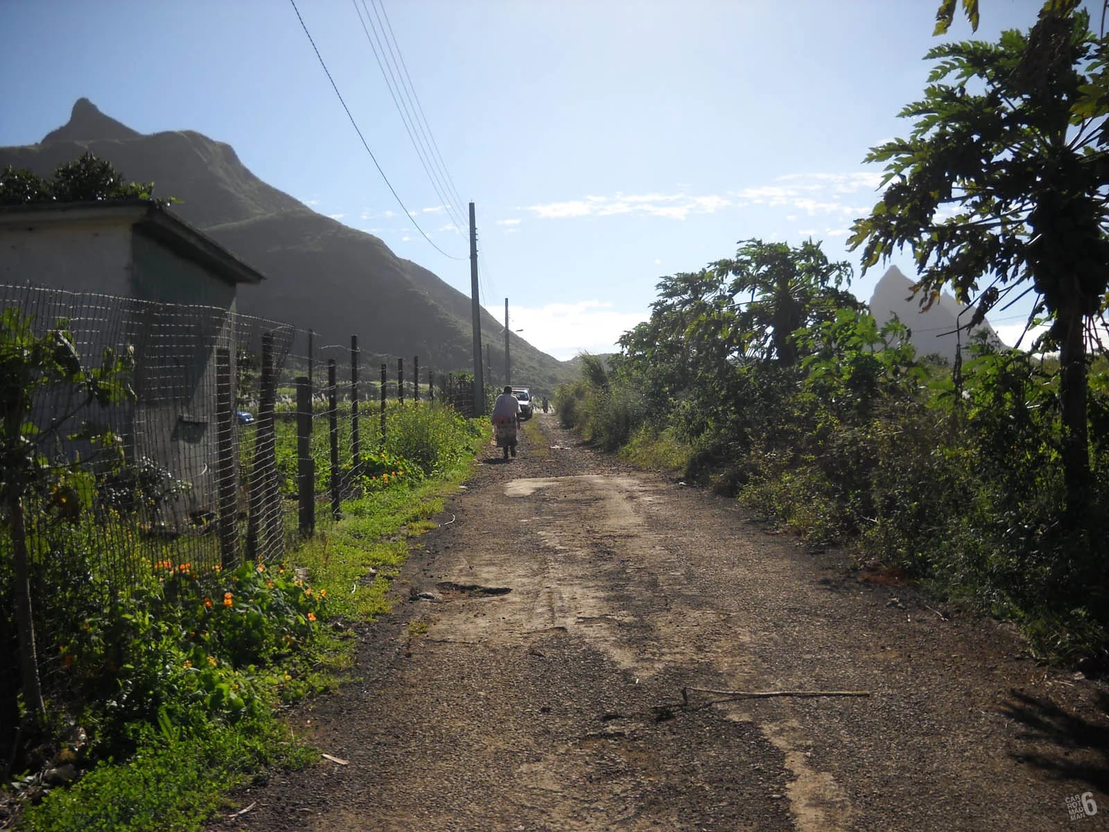
Le Pouce as a running objective
The numbers explain the appeal. The mapped Petit Verger route is 2.05 km one way from a car park at 381 m, with about 390 m of ascent. One trail database gives the average grade as 16 per cent and the maximum as 35 per cent, and the lower half of that is runnable by anyone used to hills, a farm track through cane, a kiosk, then forest switchbacks on a stony path. The upper half is an open shoulder where you can run again before the final spur, which nobody runs.
Round-trip times tell the same story. Walkers take 2 to 3 hours. A popular route-sharing platform logs a 4.18 km loop at 1 hour 45 minutes of moving time for ordinary hikers, and the car park to shoulder section, roughly 240 m of climb, is the natural interval for hill repetitions. The Port Louis side from Tranquebar is the long version, about 3.6 km and 690 m one way, stonier and more gradual, and the link between the two sides makes a traverse of about 6 km with a bus back.
Height gives the mountain its weather. At 812 m the summit is often in cloud by late morning, and the trade wind on the narrow top is a factor for anyone moving fast and lightly dressed. Early starts suit runners even more than walkers.
The Moka Trail races
The Moka Trail is the organised race on this part of the range and has been run since at least 2017. Two distances use Le Pouce. The Petit Both, 15 km with about 800 m of climbing, runs up to the col between Le Pouce and Pieter Both and back. The Grand Pouce, 30 km with about 1,500 m of climbing, takes in more of the Moka Range. The 2017 Grand Pouce was won in a little over three hours, which gives a sense of the terrain. The 2026 edition was scheduled for 3 October at Beau Bois.
Race details, dates and entry change from year to year and are published by the organisers and on the ITRA race register. If you plan a trip around the event, confirm the date on the official channels rather than on this page, which is only as current as its sources. No published description of a marked ridge route between Le Pouce and Pieter Both exists outside the race, and the col is not an obvious walking link, so do not treat the course as a recreational route without local knowledge.
| Race | Distance | Ascent | Course |
|---|---|---|---|
| Petit Both | 15 km | About 800 m | To the col between Le Pouce and Pieter Both and back |
| Grand Pouce | 30 km | About 1,500 m | The long course over the Moka Range, won in 3 h 04 min in 2017 |
Sixteen ascents in under 24 hours
The best-documented feat on the mountain belongs to a Mauritian runner who climbed Le Pouce sixteen times between 31 July and 1 August 2020, finishing in 23 hours 56 minutes. His watch recorded 67.72 km and 6,912 m of ascent, done in laps of about 4.2 km. The report in the local sporting press noted that morning fog made the technical final section slippery, which is the honest footnote to any fast time here.
The arithmetic is instructive. Sixteen laps in 1,436 minutes is roughly 90 minutes per round trip, sustained through a night, including the walk up the spur each time. A fresh runner on a single ascent will be quicker, but the record shows what the mountain allows and what it does not. Nobody runs the thumb. The time is made on the track, the switchbacks and the shoulder, and kept by not falling on the way down.
Which sections to walk
Running the whole route is not the goal, and on Le Pouce it is not possible. The sections below are walked by everyone who knows the mountain, including the people with the fastest times on it.
What runs well is the farm track, the lower switchbacks in dry weather, the whole of the open shoulder and, for strong descenders, the forest down to the kiosk when the ground is firm. The Port Louis side adds a long, stony, gradual climb that runs better than it descends.
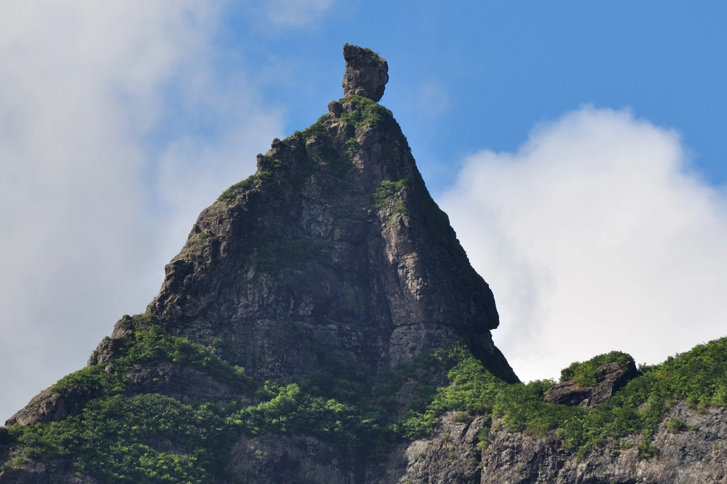
- The final spur, from the base of the thumb to the summit. Narrow ledges, short catwalks with drops and a trench in the ridge. Walk it, use your hands on the rock step, and walk it again on the way down.
- The descent of the upper forest switchbacks when wet. This is where ankles go, as the stretcher rescue of August 2026 showed. Slow to a walk on polished rock and mud.
- The kiosk junction and the Port Louis fork, briefly, to be sure of the line. Fast descents down the wrong branch cost an hour.
- Any section where walkers are coming the other way on a narrow path. See the etiquette below.
- The last fifty metres onto the summit when anyone is already there. The top is small and runners arriving at speed unsettle people sitting near the edge.
Heat, mud and water
There is no water on either route and no shop at the Petit Verger car park, so a runner carries what the morning needs. For a single ascent in winter half a litre is enough for most people. For repetitions or anything in summer, from November to April, when coastal highs reach 29 °C in January and February and the open shoulder has no shade, carry at least a litre and leave more in the car. The summit is roughly five degrees cooler than the coast, which is pleasant for a minute and then cold in a wet shirt in the wind.
Mud is the other constant. The forest switchbacks hold water after rain and the wettest months are February and March, when the descent becomes a controlled slide for the unwary. Lugged trail shoes are not optional. The 24-hour record was set at the end of July, in the dry season. Check the cyclone bulletin between November and mid May, and treat a cloud-capped summit as a sign to run the shoulder repeats and skip the spur.
Etiquette on a shared path
Le Pouce is walked every day by families, visitors on their first Mauritian mountain, school groups and guided parties. A runner is the fastest and least expected thing on the path, and the narrow sections leave no room to step aside.
Running clubs and the Moka Trail community are the best source of current conditions, group runs and the state of the path after a cyclone. Ask locally rather than relying on a track recorded years ago.
- Walkers have priority on narrow ground. Slow to a walk, say good morning, and pass when there is room. On the spur, wait.
- Call ahead on blind corners in the forest. A quiet word at ten metres beats a shout at two.
- Stay on the path. Shortcuts across the shoulder and down the switchbacks erode the mountain, and the north-western flank is a nature reserve with plants found nowhere else.
- Do not run past children or groups of nervous hikers on the ledges. Stop, let them settle, then go.
- Leave nothing, including gel wrappers. Litter on this mountain is a documented problem.
- Share the summit. Touch the top, step back and leave the small space to the people who climbed for the view.
- Early morning is the quiet time and also the safe time. Run with someone on the Port Louis side, which has a record of robberies, most recently at knifepoint at Le Dauguet in 2025.
Questions people ask
Can you run up Le Pouce?
Most of it. The farm track, the forest switchbacks in dry weather and the open shoulder are all runnable for anyone used to hills, and the Petit Verger route is short enough, about 2 km and 390 m, to use for repetitions. The final spur onto the thumb is narrow, exposed and rocky, and everyone walks it, including the runners with the fastest times on the mountain.
How long does it take to run Le Pouce?
No official times exist, but the record of sixteen ascents in just under 24 hours works out at roughly 90 minutes per round trip of about 4.2 km, sustained through a night. A fresh runner on a single ascent will be well inside that. Walkers take 2 to 3 hours for the round trip, and a popular route-sharing platform logs a hiking loop at 1 hour 45 minutes moving time.
When is the Moka Trail?
The 2026 edition was scheduled for 3 October at Beau Bois, with the Petit Both at 15 km and about 800 m of climbing and the Grand Pouce at 30 km and about 1,500 m. Dates and courses change, so confirm the current edition with the organisers or on the ITRA race register before planning a trip around it. The Petit Both runs to the col between Le Pouce and Pieter Both.
Is it safe to run Le Pouce alone?
On the Moka side from Petit Verger, in the morning, it is an ordinary risk that many local runners take. Tell someone your plan and carry a phone, because a sprained ankle on the descent is the common injury. On the Port Louis side, with its record of robberies, most recently at Le Dauguet in 2025, run with company. In either case walk the final spur, where a fall would be serious.
Do I need poles for running Le Pouce?
No. The route is short and the one place poles might help, the muddy forest descent, is better handled by slowing down and choosing your line. On the final spur poles are a hazard, because you need your hands on the rock. If you use poles for the Moka Trail long course, that is a different question and depends on the race rules and your habit.
Is there a route from Le Pouce to Pieter Both?
The Moka Trail Petit Both course runs to the col between the two mountains, but no published description of a marked recreational ridge route exists, and the col is not an obvious walking link. Pieter Both itself needs ropes and a guide for the summit boulder. Treat the two as separate outings unless you have local knowledge and a companion who has done the link.
Load the route
Both routes with elevation profiles and GPX files, so you can plan repeats or the traverse.